
Our first stop after crossing into Asia was Troy, or the area that they believe to be Troy. While these ruins are generally identified as the site of the legendary Trojan War, the evidence is not 100% conclusive. However, most historians and archeologists are convinced that this was in fact the ancient city of Troy, which apparently was enough for this area to be added to the UNESCO World Heritage List in 1998. Sounds good enough for me! Let’s call this place Troy!


According to the Iliad, the ancient city of Troy sat atop a hill, across the plain of the River Scamander. But today, Troy is about 3 miles from any body of water (you can see the water if you look closely at the picture below). Historians believe that 3,000 years ago, the field shown below was actually a large bay that has since been filled with sediment. Geological evidence supports that this location would have matched Homer’s geographical description of Troy.

Troy was a city that was continually built upon and expanded. For this reason, archeologists have uncovered several “layers” of Troy. These layers are called Troy I – Troy IX and they cover the periods of 3,000 BC – 500 AD. You can see placards in the picture below marking different layers of the ancient city.

Troy VII (1300-1200 BC) is the layer associated with Homer’s story and the Trojan War. The picture of the wall below is a part of Troy VII and a likely site of the Trojan War. Our tour guide pointed out that the lower portion of the wall was designed with a slight slant to make it appear like it would be easy to climb. But towards the top of the wall, the slant disappears leaving potential wall jumpers at the mercy of the Trojans. Our guide informed us the Trojans would pour boiling oil onto invaders and then light them on fire! Scalded Spartan, anyone?


Remains of the Temple of Athena

Well built in 300 BC

Ramp built for chariots to enter the city (on the friendly side of course)

Sacrificial grounds (with built-in wells to drain blood)

Believed to be the tomb of Achilles

Theater
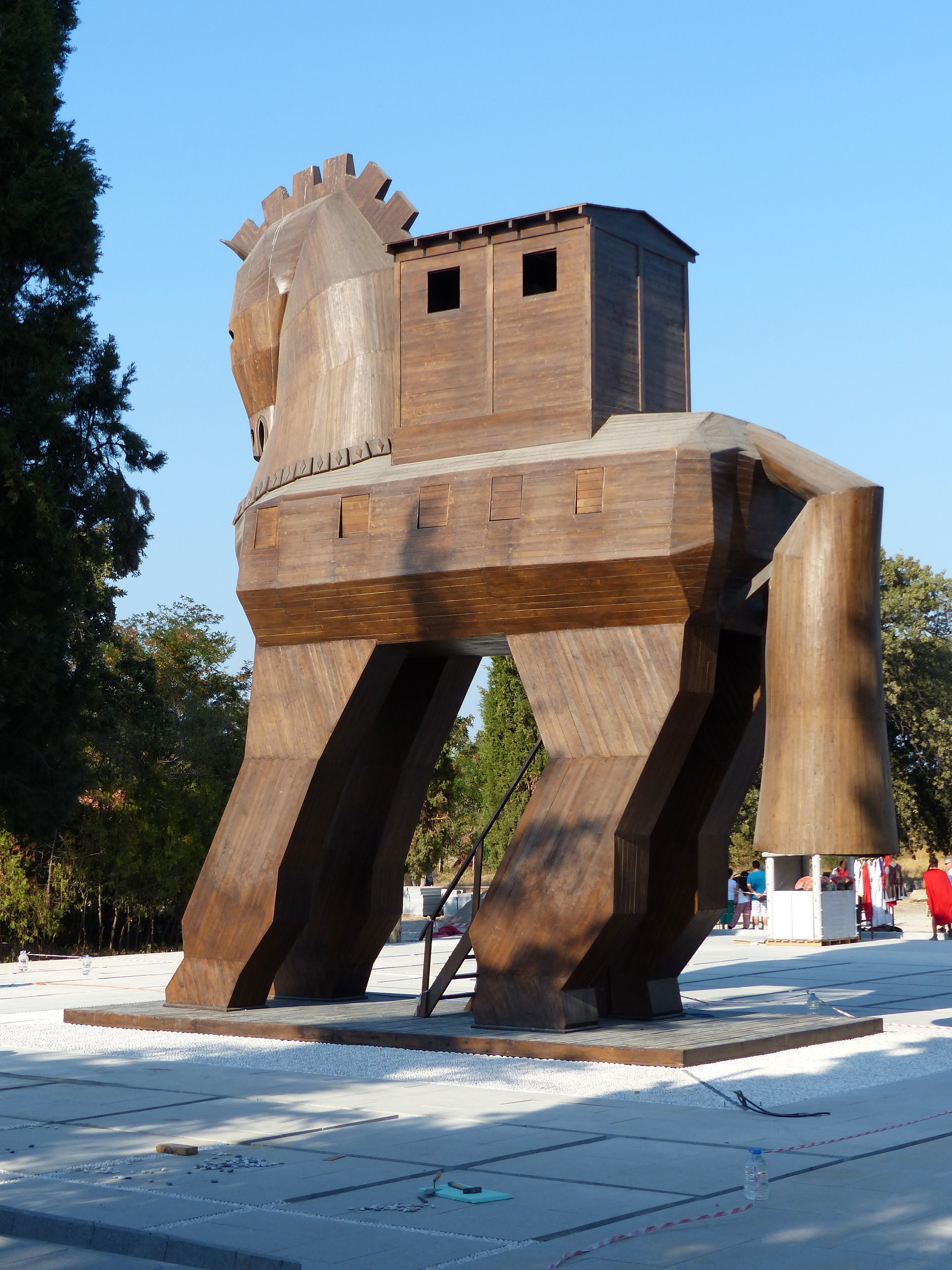
Not convinced this is Troy?

Well surely the placement of this Trojan Horse replica will be the only remaining proof you need!

Pingback: Can You Pronounce Çanakkale? | Where In The World Is Dayna...